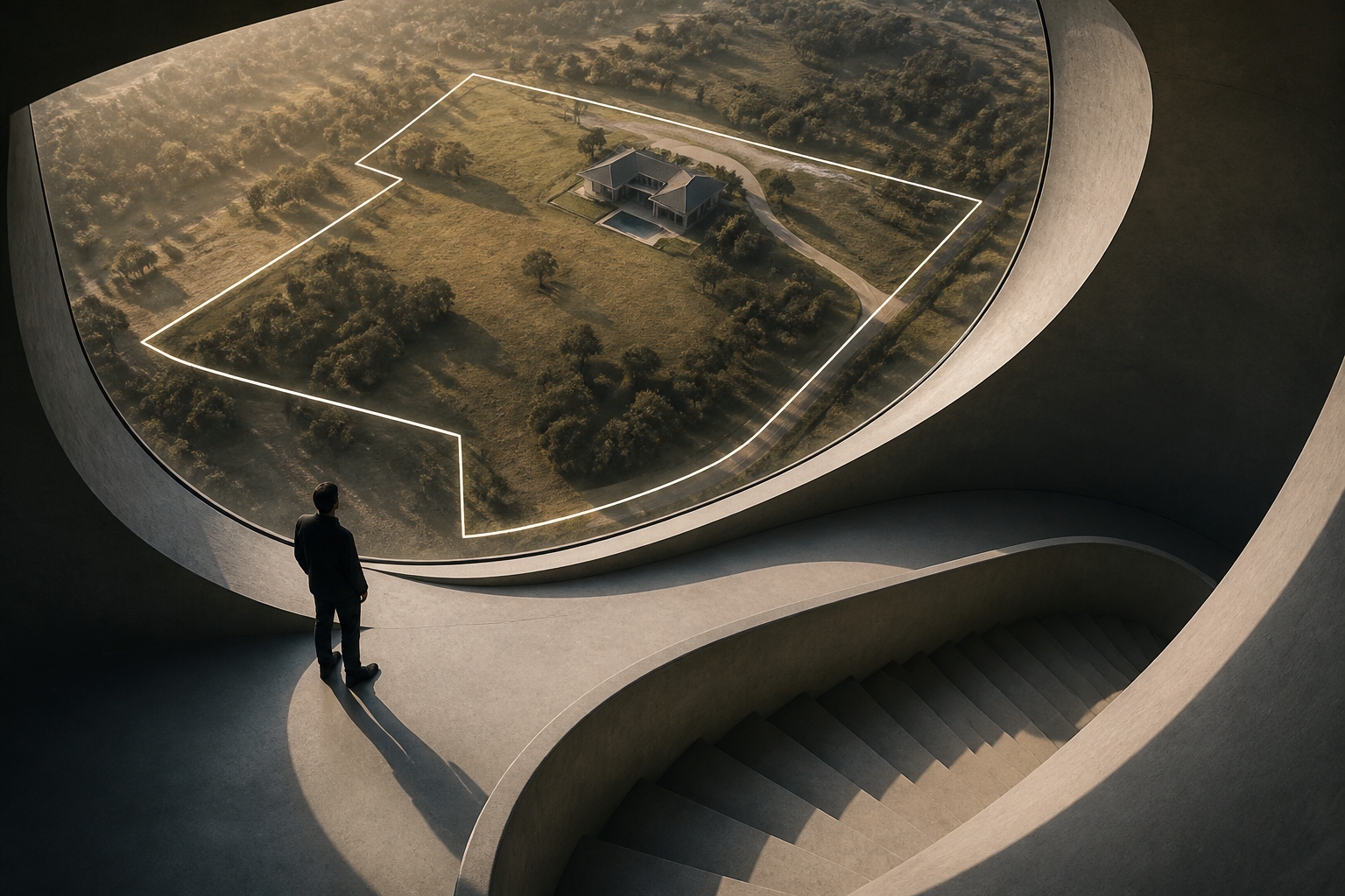
A developer has used Anthropic's Claude to build Pixly, a free browser-based tool that automatically draws and tracks real-estate property lines over drone video, keeping boundary overlays locked to the ground as the camera moves. The project, which recently drew attention among developers and real-estate professionals, targets a narrow but persistent need in property marketing: showing prospective buyers exactly where a parcel begins and ends.
Continue reading
The rest of this article is for AI News Blitz readers. Choose an option below to keep reading.
Already purchased? Sign in✓ Signed in — this article isn’t included in your current plan.
Unlocking the full article...
Contact us
Questions, corrections, or ideas? Send us a message here. We aim to reply by email within 24 hours.
Thank you. Your message has been sent. We aim to reply by email within 24 hours.Please enter your email address and a message.We could not send your message. Please try again in a little while.