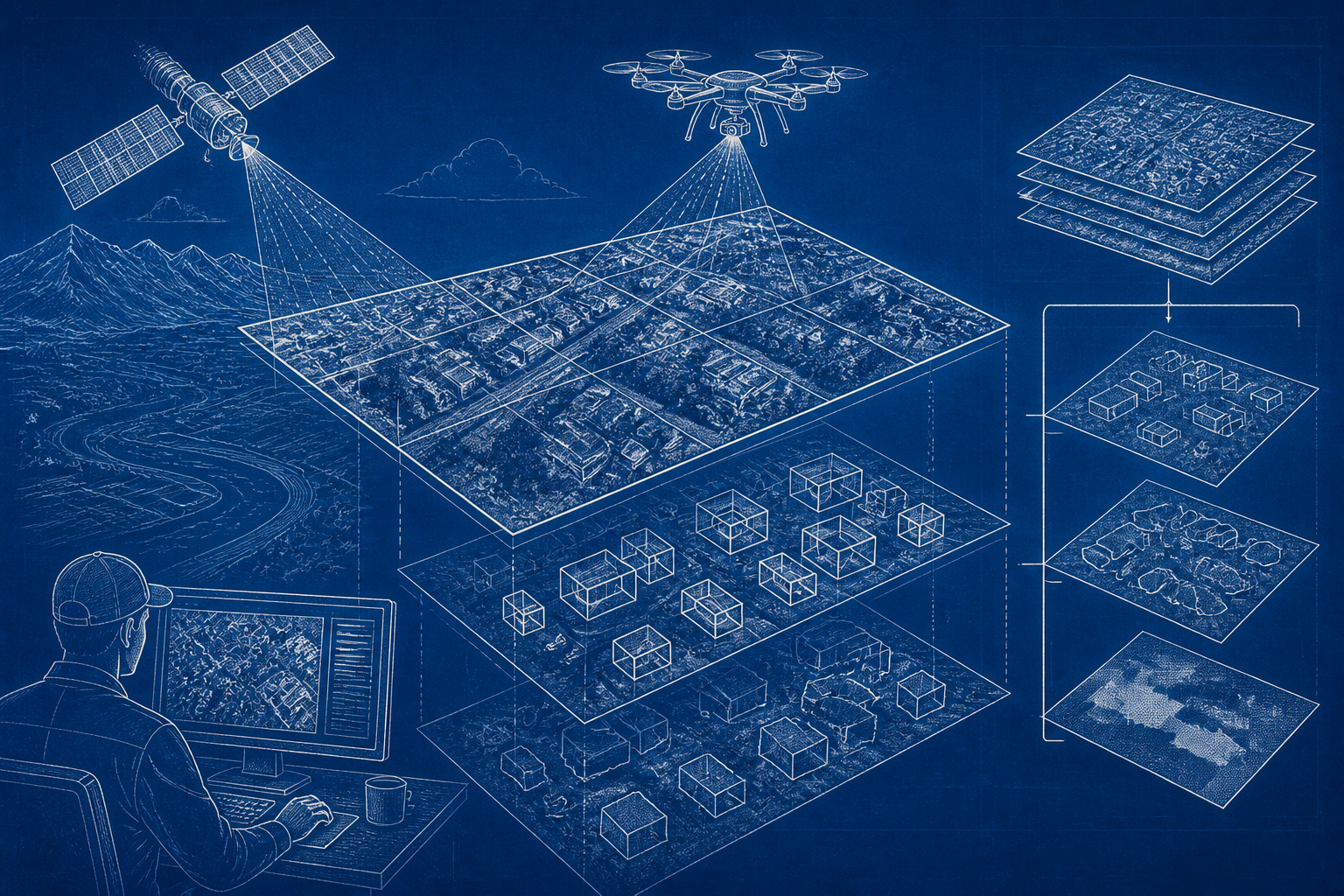
GeoDeep, a free and open-source Python library from UAV4GEO, runs AI object detection and semantic segmentation directly on geospatial rasters such as GeoTIFF files—without requiring a GPU. The tool has gained traction in the drone-mapping and remote-sensing community as a lightweight alternative to heavier machine-learning stacks, and it has accumulated roughly 489 stars and 55 forks on GitHub as of 2026.
Continue reading
The rest of this article is for AI News Blitz readers. Choose an option below to keep reading.
Already purchased? Sign in✓ Signed in — this article isn’t included in your current plan.
Unlocking the full article...
Contact us
Questions, corrections, or ideas? Send us a message here. We aim to reply by email within 24 hours.
Thank you. Your message has been sent. We aim to reply by email within 24 hours.Please enter your email address and a message.We could not send your message. Please try again in a little while.