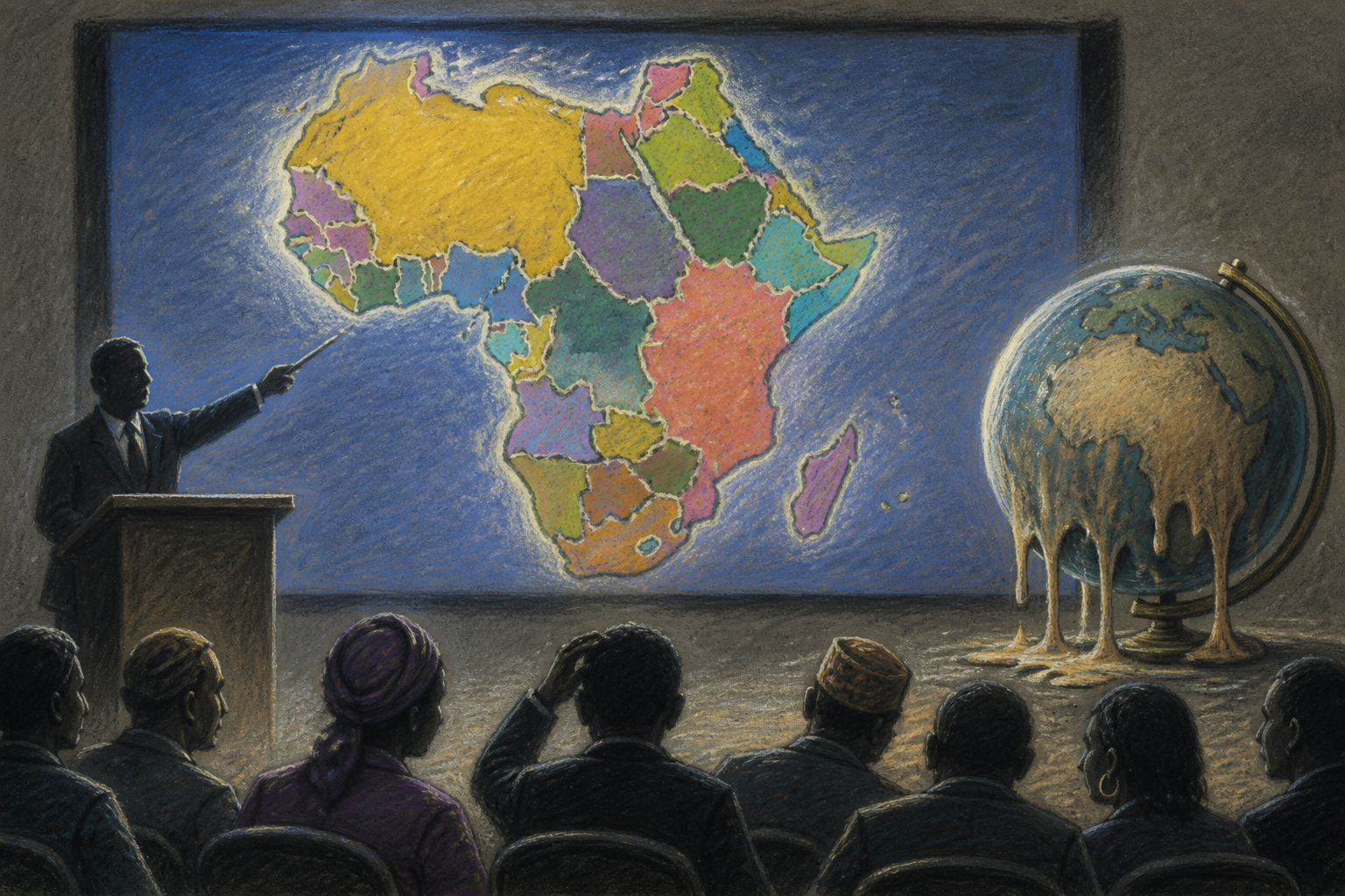
The U.S. State Department has apologized after presenting an AI-generated map of Africa that misnamed every country and scrambled the continent's geography during a presentation at the AIDS 2026 conference in Rio de Janeiro. The slide, shown while officials described U.S. HIV/AIDS funding, placed Nigeria in the Sahara, moved Mozambique toward the Horn of Africa, and shifted Ivory Coast to the opposite side of the landmass, with borders and labels bearing little resemblance to reality.
Continue reading
The rest of this article is for AI News Blitz readers. Choose an option below to keep reading.
Already purchased? Sign in✓ Signed in — this article isn’t included in your current plan.
Unlocking the full article...
Contact us
Questions, corrections, or ideas? Send us a message here. We aim to reply by email within 24 hours.
Thank you. Your message has been sent. We aim to reply by email within 24 hours.Please enter your email address and a message.We could not send your message. Please try again in a little while.