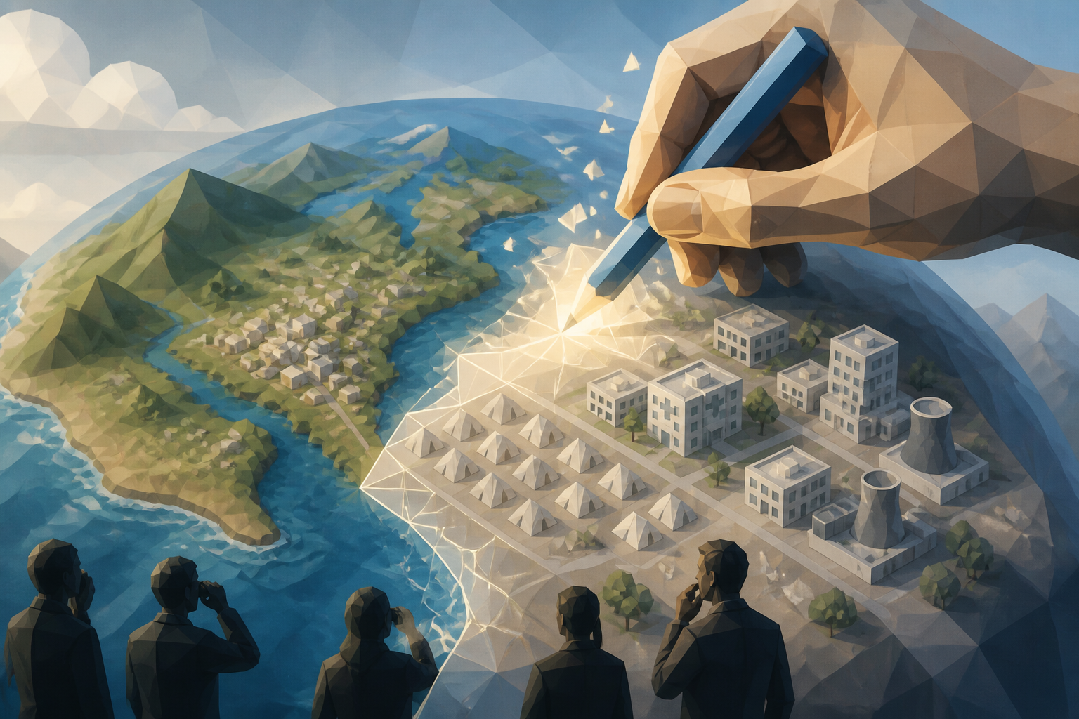
Google has integrated its Nano Banana 2 image-generation model into the web version of Google Earth, letting anyone add or synthesize fabricated features onto real satellite and aerial imagery through natural-language prompts. The rollout, announced on July 30, 2026, is immediately available worldwide with no waitlist—and within hours it triggered warnings that a two-decade trusted mapping reference could become a vehicle for realistic disinformation.
Continue reading
The rest of this article is for AI News Blitz readers. Choose an option below to keep reading.
Already purchased? Sign in✓ Signed in — this article isn’t included in your current plan.
Unlocking the full article...
Contact us
Questions, corrections, or ideas? Send us a message here. We aim to reply by email within 24 hours.
Thank you. Your message has been sent. We aim to reply by email within 24 hours.Please enter your email address and a message.We could not send your message. Please try again in a little while.